

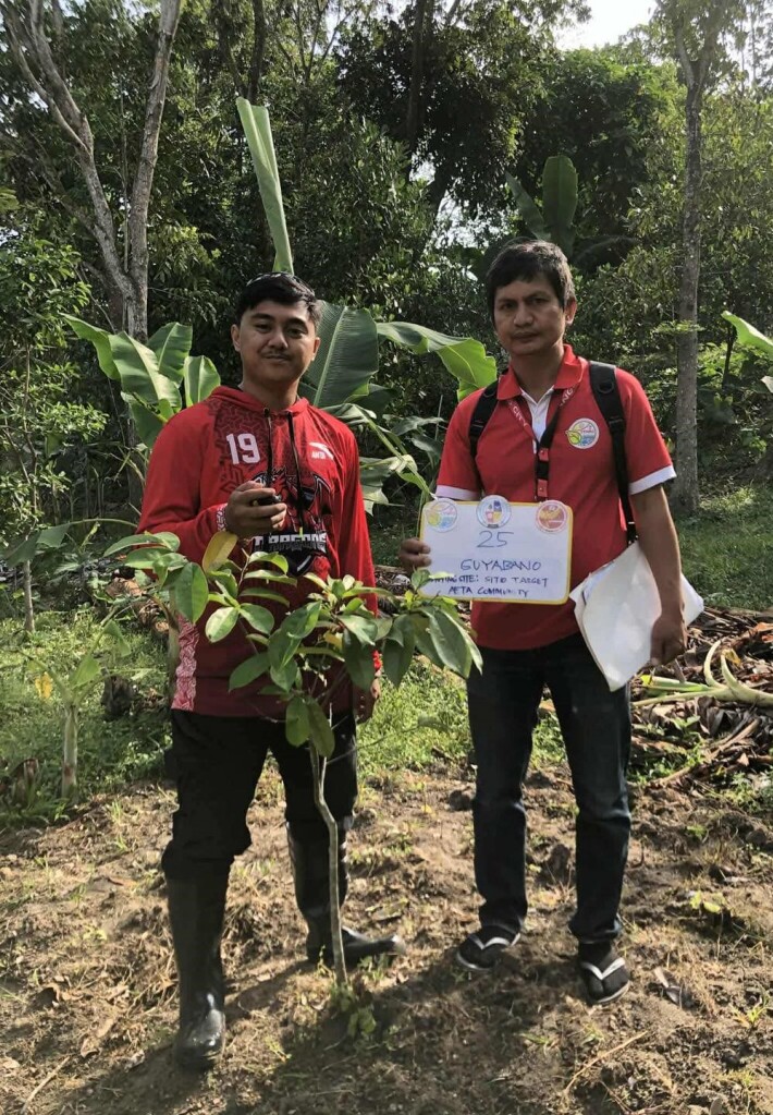
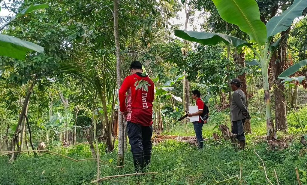
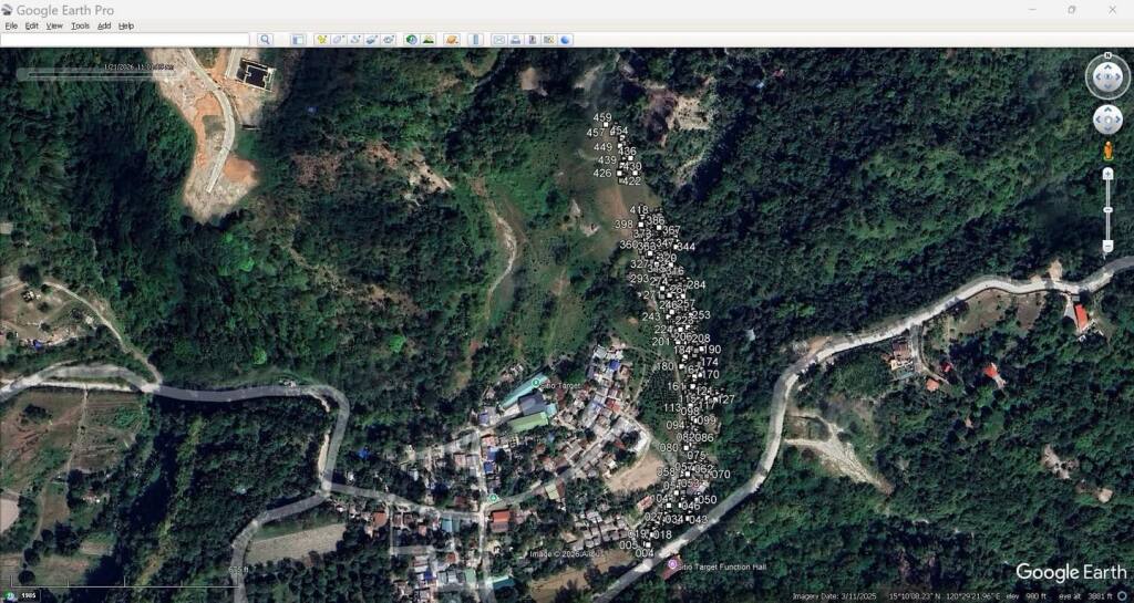
ANGELES CITY – A multi-sectoral team has been organized by the city government at the initiative of Mayor Carmelo “Jon” Lazatin II to geotag plants and trees in Barangay Sapangbato, the city’s designated watershed area.
Representatives from the Aeta community of Sapangbato, the city Environment and natural resources office, and the city disaster risk reduction and management office will undertake the collaborative effort highlighting the city’s commitment to inclusive, science-based, and community-driven environmental protection.
![]()
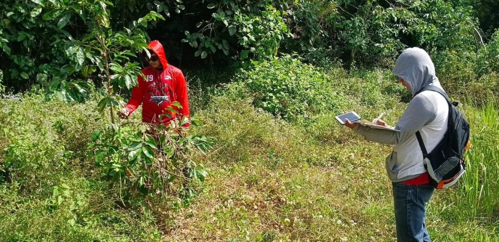
The geotagging initiative aims to gather updated data for the city’s Greenhouse Gas (GHG) Inventory, which will serve as a critical reference in the formulation and future updating of the Local Climate Change Action Plan (LCCAP). Accurate and updated GHG data are essential in identifying emission sources, guiding mitigation strategies, and strengthening climate adaptation measures.
Maintaining a reliable GHG inventory is mandated under the Climate Change Act and plays a vital role in disaster risk reduction, particularly in preparing for climate-related hazards such as typhoons, flooding, and extreme weather events.
This initiative complements the ongoing tree-growing and reforestation activities being conducted by the city government in Barangay Sapangbato, in partnership with private institutions, local schools, and community stakeholders—further reinforcing Angeles City’s long-term commitment to environmental sustainability and climate resilience for every Angeleño. Angeles CIO


